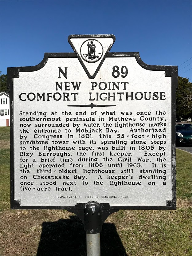
Starting at the New Point Lighthouse or at Historic Bayside Landing, these routes are right at sea level.
Must love open spaces….
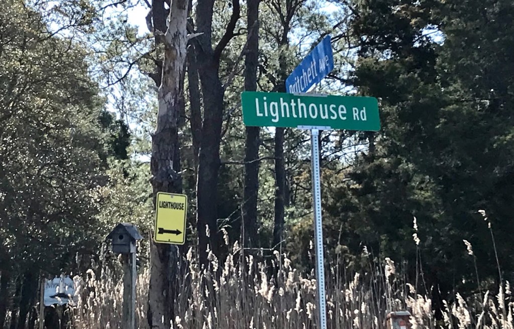
The scenery simply cannot be beat when you venture along any of the running or cycling routes in the New Point area of Mathews County. It is mostly isolated except for the numerous wildlife species that call the marshes home. To get there, you literally must travel to the end of the road, Route 14.
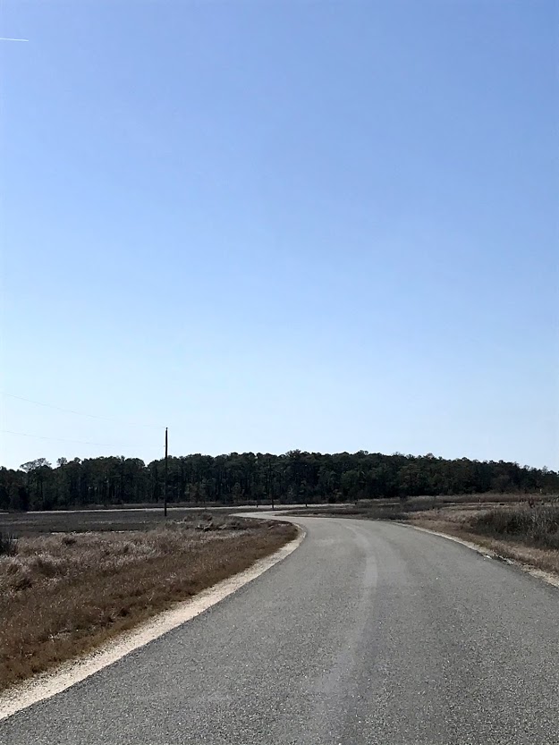
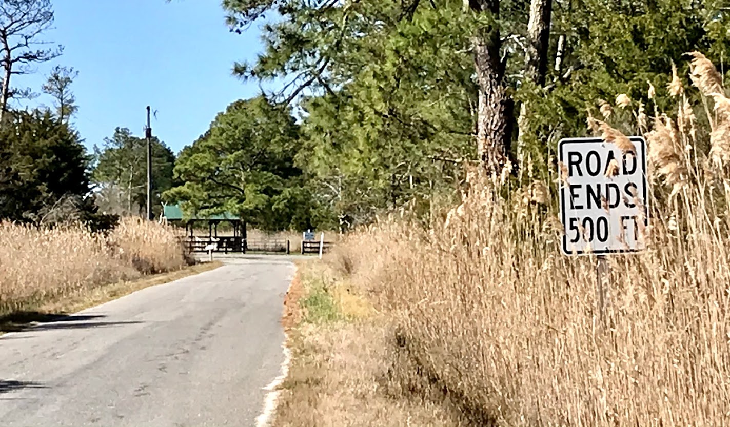
There is a decent amount of parking at either the lighthouse walkway or at Bayside Landing, where these routes start & finish. There is always plenty of wind and very little shade.
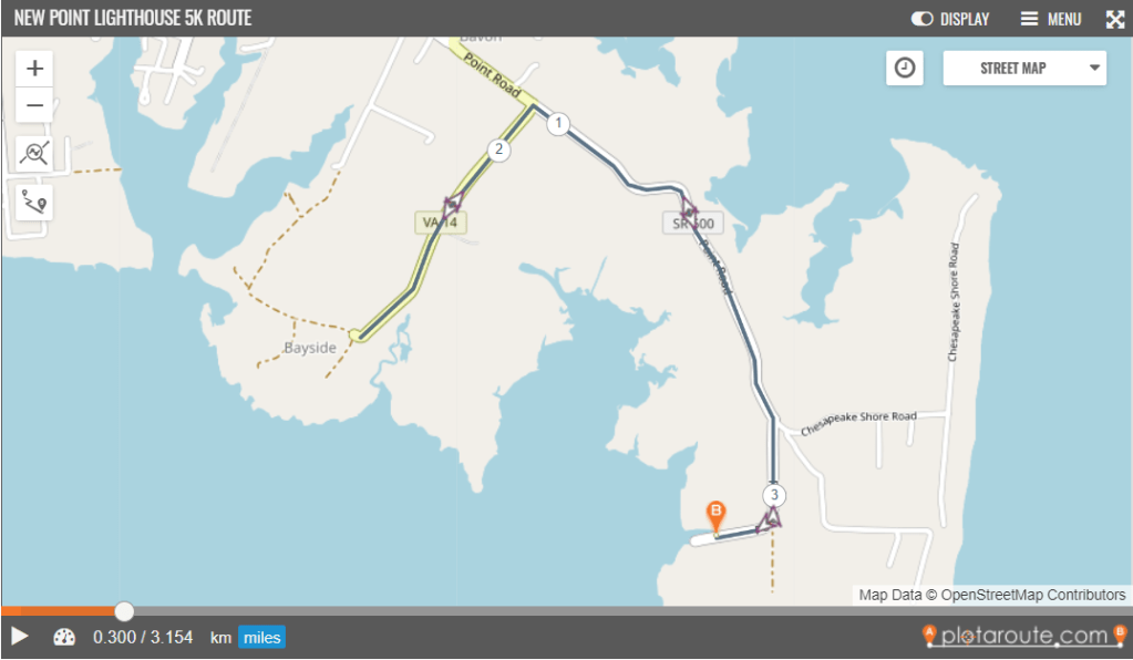
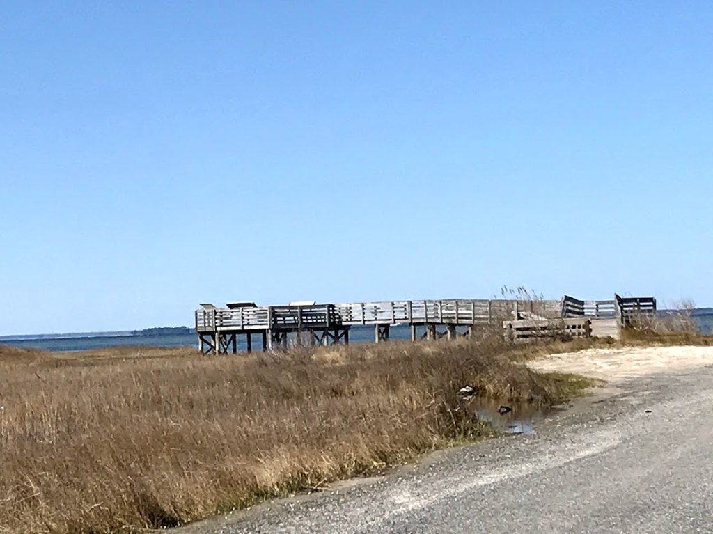
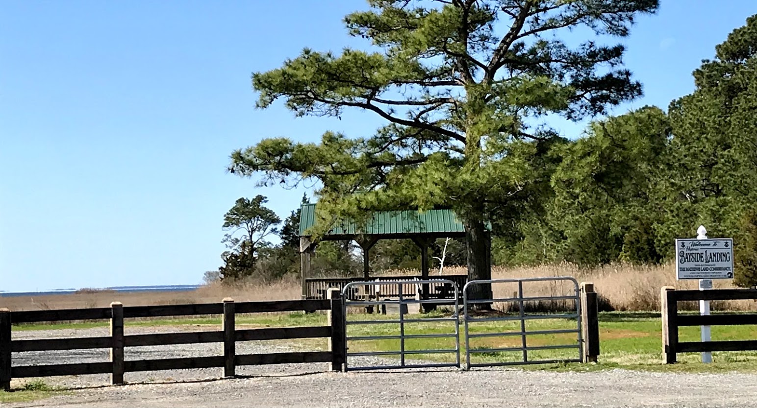
Click on the image for the interactive 5k route map. Park at either the Lighthouse observation area or at Bayside Landing. This route is an out-and-back along the one-mile marsh road, left onto Bayside Drive to the end. Reverse route back to Lighthouse observation area. See images below of Bayside Landing – more information on Historic Bayside Landing.
Circle Road Loop
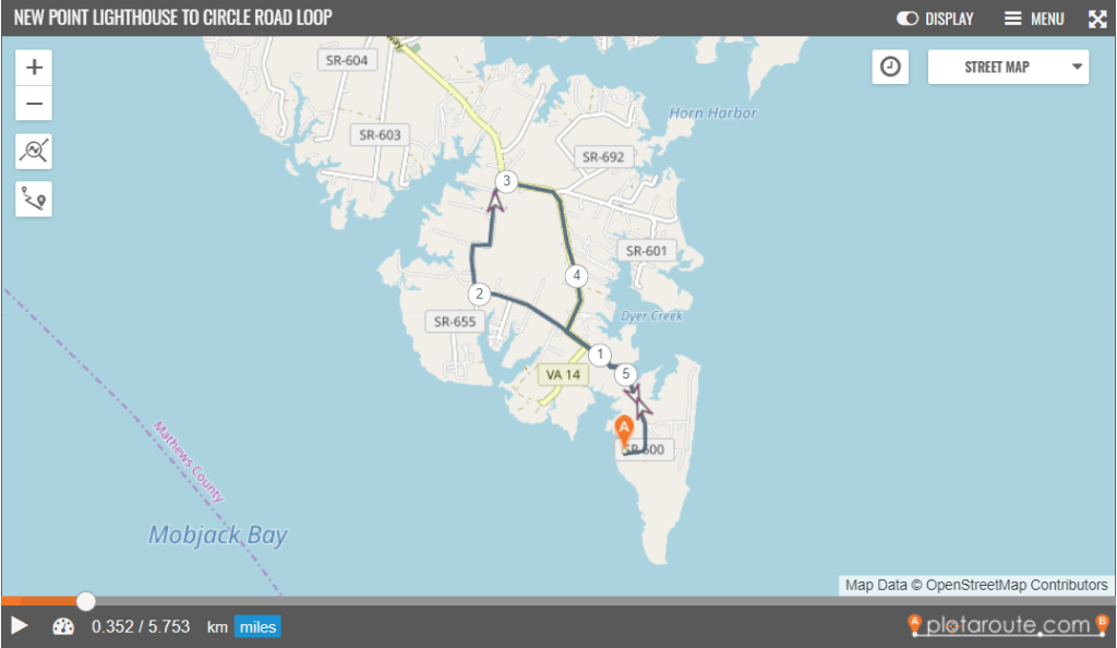
Looking for a longer distance? Starting from either Lighthouse observation area or from Bayside Landing, add in the 3 mile Circle Road Loop. Click on the image here for the interactive 5.75 mile map that begins & ends at the Lighthouse observation area.
After the one mile marsh area, continue straight on to Circle Road, then continue on Circle Road at the right turn where it meets Dutchman Road.
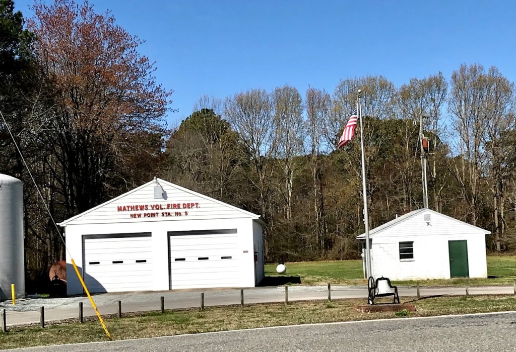
Circle Road will end at Route 14 at the New Point Firehouse, shown here. Turn right onto Route 14 and follow it back to the left turn onto the marsh road back to the Lighthouse observation area.
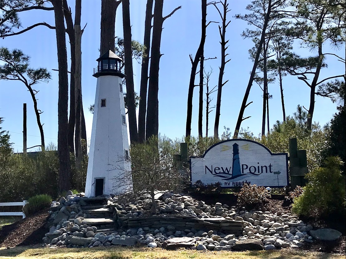
At the 3.5 mile point in the route, you’ll pass Sandbank Road. That leads to the New Point Campground & RV Resort – an out-and-back along Sandbank Rd to the beach at the end is a nice extension to the Circle Road Loop.
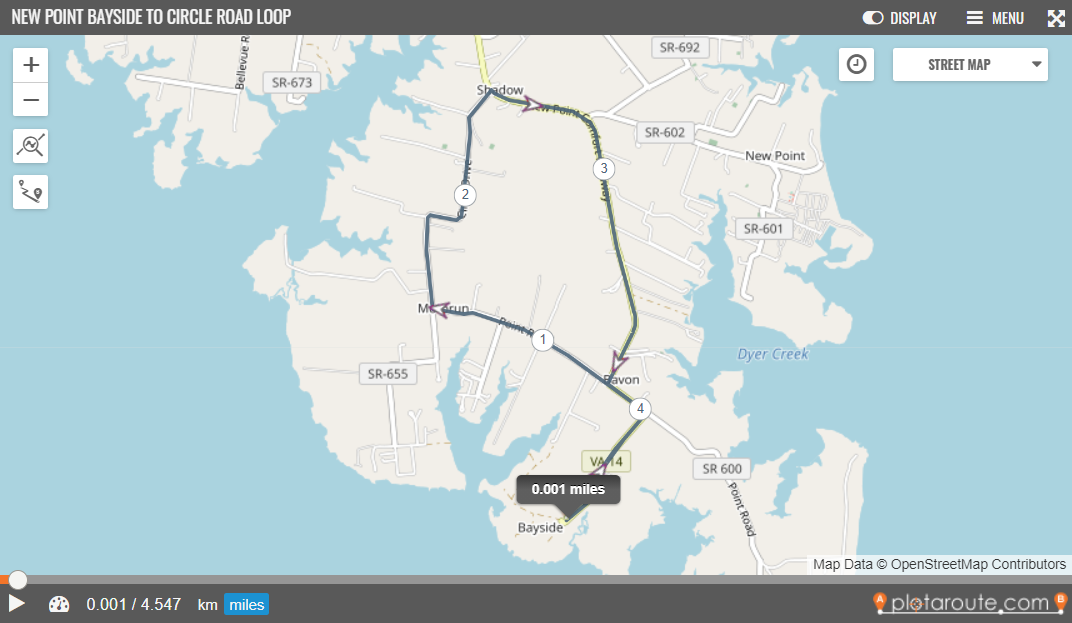
Bayside Landing > Circle Road route is 4.5 miles – interactive map.
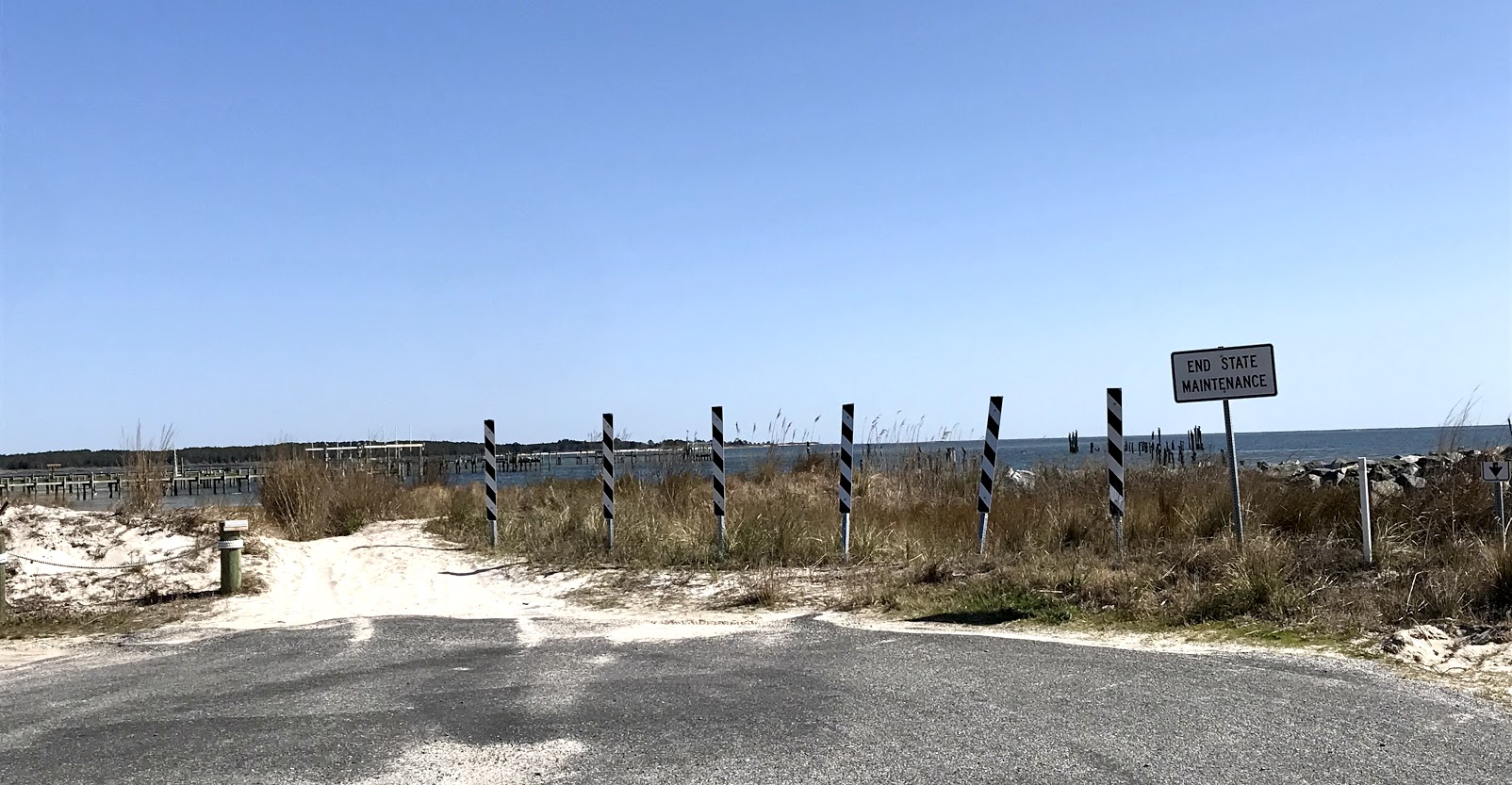
Pictured here is the sign at the entrance to the New Point Campground & RV Resort as well as the path to the sandy beach outside the campground entrance.
